Our Projects
Marine and land surveying to the highest professional standards, from the seabed to the border line — explore a selection of our completed work across the Kingdom.
Hydrographic Survey Projects
Marine survey for ports, naval bases, navigation channels, and submarine cable routes, delivered with the precision demanded by critical engineering decisions.
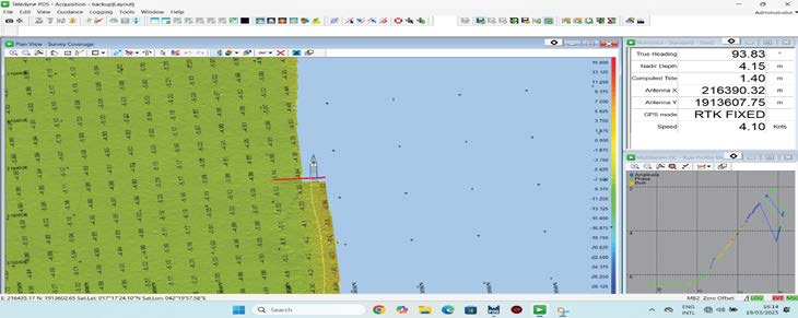
- Marine survey for Ra'as Al Torfa port and borders guardian's base at Jizan province, area of 150,000,000 sq. m.
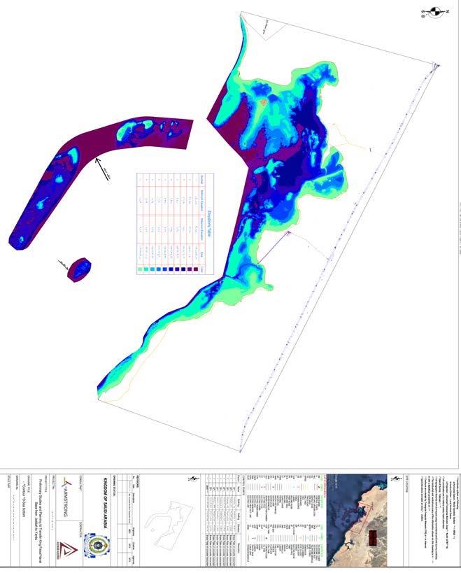
- Marine survey for design of King Faisal naval base under authorities of Saudi royal navy, area of 90,000,000 sq. m.
- Marine survey for design of environmental mangrove park under development association of eastern area, area of 6,000,000 sq. m.
- Marine survey of the proposed Al Naseem neighborhood, an area of 28,000,000 sq. m.
- Marine survey for developing of Al Khobar under development association of eastern area, area of 1,200,000 sq. m.
- Marine survey for developing of Al Morgan islands' adjacent areas under development association of eastern area.
- Marine survey for developing of SYHAT corniche under development association of eastern area.
- SHEYBARA FOC cable route marine survey at RSG project.
- Khor Al Dammam survey for the purpose of developing Al Dammam corniche.
- JIGPC water intake channel marine survey.
- Marine survey of Al-Uqair port.
- Marine survey of a project in Dammam Port with an area of 2 km².
- Marine survey for the development project of Jeddah Islamic Port (Huta project).
- Marine survey for Jeddah Development Company (MBL project).
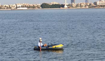
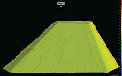
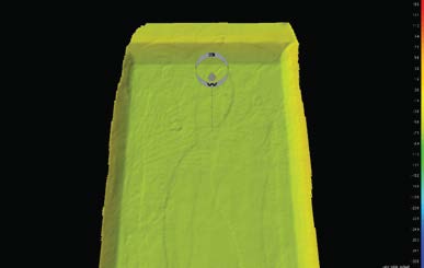
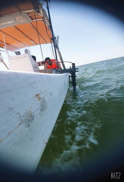
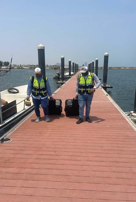
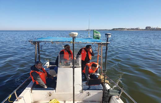
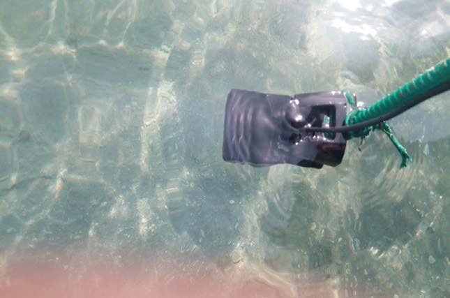
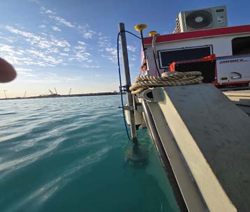
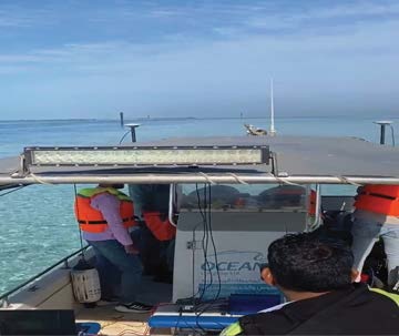
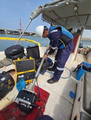
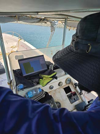
Field Highlights
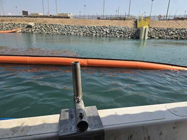
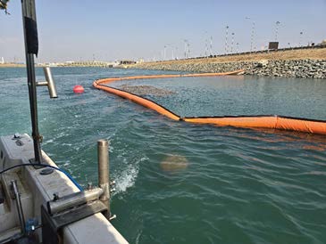
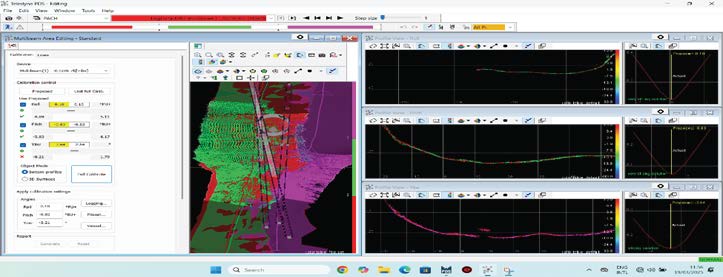
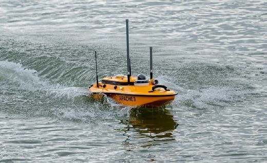
Land Survey Projects
Topographic and cadastral surveys for military bases, airports, housing schemes, and sewage networks, with precise GIS mapping.
- Topographic survey for design of King Faisal naval base under authorities of Saudi royal navy, area of 145,000,000 sq. m.
- Topographic survey of Al GOUF airbase under authorities of royal air forces, area of 75,000,000 sq. m.
- Cadastral survey of AL HADA area under authorities of AL TAEF municipalities, area of 55,000,000 sq. m.
- Topographic survey under authorities of ministry of mining, area of 32 sq. km.
- Topographic survey for a land park under authorities of the agriculture ministry at KHLAIS city, area of 18,000,000 sq. m.
- Topographic survey of border guardian's troops base at AL DAMMAM–AL KHAFGY road, area of 16,000,000 sq. m.
- Topographic survey of ISKAN AL DAHYA location at Al Riyadh province, area of 5,800,000 sq. m.
- Topographic survey for zones 2, 3 & 5 at JIZAN airport, area of 4,200,000 sq. m.
- Topographic survey of the border road with the Sultanate of Oman, length of 320 km.
- Topographic survey for location of technical complex at WAAD AL SHAMAL area at AL TORAF city, area of 2,000,000 sq. m.
- Topographic survey for housing scheme site at Abu-ARAISH in Jazan province, area of 4,700,000 sq. m.
- Topographic survey for housing scheme site at BEESH in Jazan province, area of 5,300,000 sq. m.
- Topographic survey for housing scheme site at ISKAN AL DARB, area of 1,300,000 sq. m.
- Topographic survey for housing scheme site at ARD AL ERSAL in the east of Riyadh province, area of 3,300,000 sq. m.
- Topographic survey for housing scheme site at KHMRA in Jeddah province, area of 800,000 sq. m.
- Cadastral and topographic survey for HADDAD and AL KRAIE at AL TAEF municipality.
- Establishment of 33 survey points (monuments), 3rd grade, at AL TAEF municipality.
- Topographic survey with GIS mapping for 1,300 sewage connections at AL ZOLPHA.
- Topographic survey with GIS mapping for 2,500 sewage connections at AL ZOLPHA, SHAQRAA, AL GHAT, AL DAWADMI.
Field Highlights
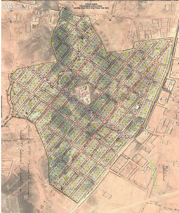
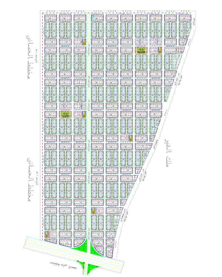
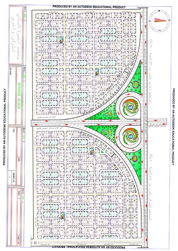
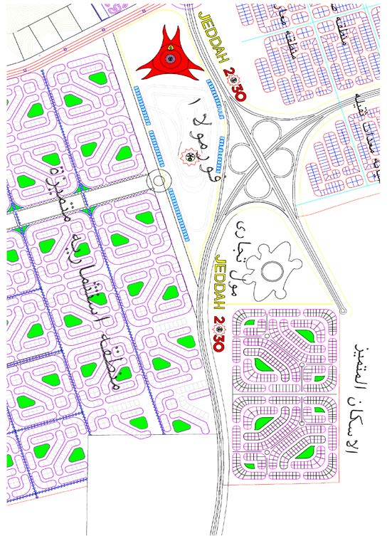
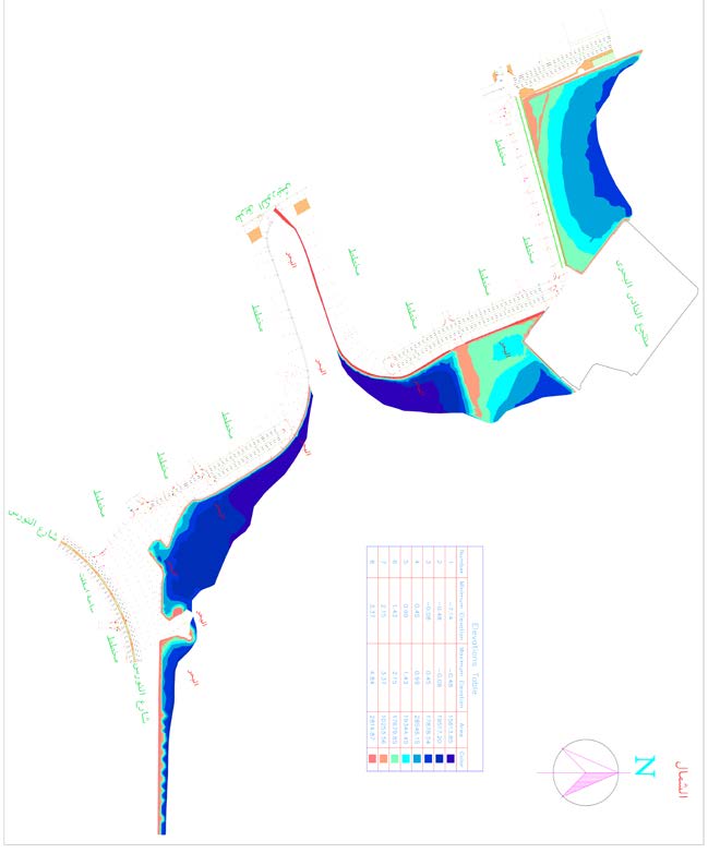
Building Trust. Delivering Excellence
At MT Marine, our projects are not only measured by what we deliver — but by the trust we build with our clients at every step. We collaborate with a diverse range of clients across infrastructure, energy, coastal development, and engineering sectors, providing precise surveying and mapping solutions that support confident decision-making.
Our clients trust us because we:
- Commit to the highest standards of accuracy and quality
- Utilize advanced surveying technologies across land and marine environments
- Deliver tailored solutions for every project
- Act as a true partner, not just a service provider
True quality… is revealed in the smallest details.
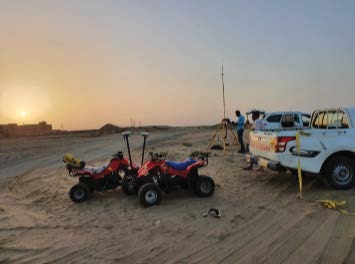
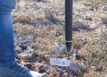
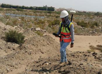
Sample of Executed Projects
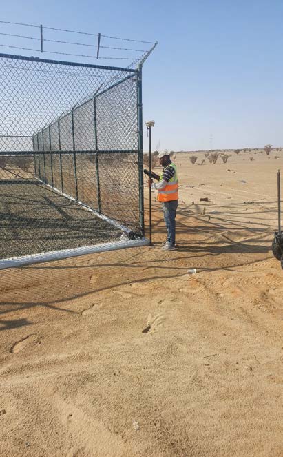
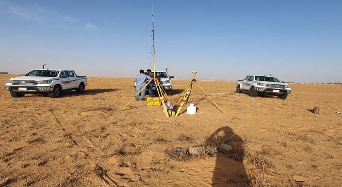
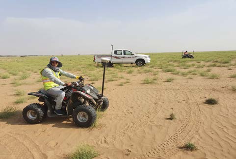
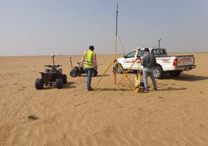
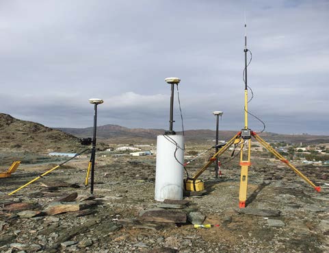
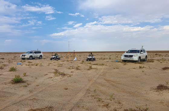
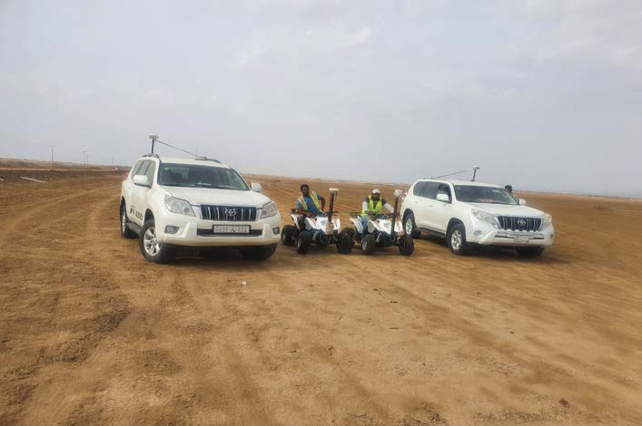
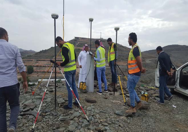
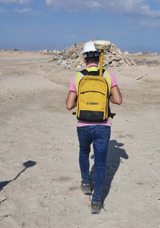
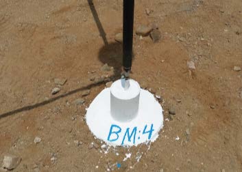
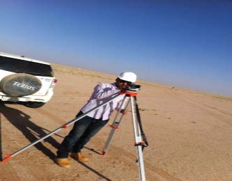
Engineering Excellence Beneath & Above the Surface
Advanced technology, uncompromising quality, and a clear vision — explore how MT Marine delivers precision across every dimension of marine and geospatial surveying.

Multibeam Echo Sounder (MBES)
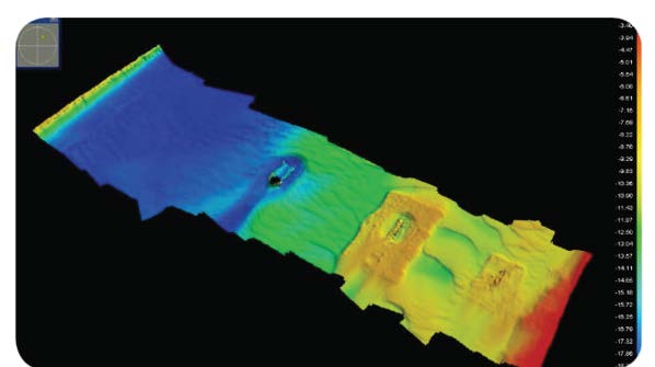
Produces high resolution bathymetric maps of the seabed, capturing thousands of depth measurements simultaneously to create detailed 3D underwater models.
UAV Drone Systems
Aerial surveys and mapping, capturing high-resolution images and geospatial data for orthophotos, elevation models, and detailed maps.
LiDAR & Laser Scanning
Captures millions of measurement points to create accurate digital models of terrain, buildings, and infrastructure.
GNSS Survey Equipment
Precise positioning and geospatial data collection with centimeter-level accuracy for surveying and mapping applications.
Mobile Mapping Systems
Integrates LiDAR sensors, cameras, and navigation technologies mounted on survey vehicles for efficient large-scale data collection.
Ground Penetrating Radar (GPR)
Detects and maps underground utilities and structures such as pipelines, cables, and foundations.